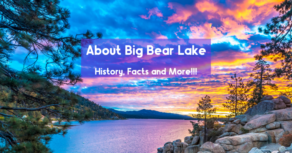
Big Bear Lake, surrounded by the majestic San Bernardino Mountains, is not only a paradise for water enthusiasts but also a haven for hikers. With a network of trails that cater to all levels of hikers, Big Bear Lake offers an unparalleled hiking experience.
This guide explores the various hiking trails available at Big Bear Lake, providing insights into their unique features, historical significance, and breathtaking views.
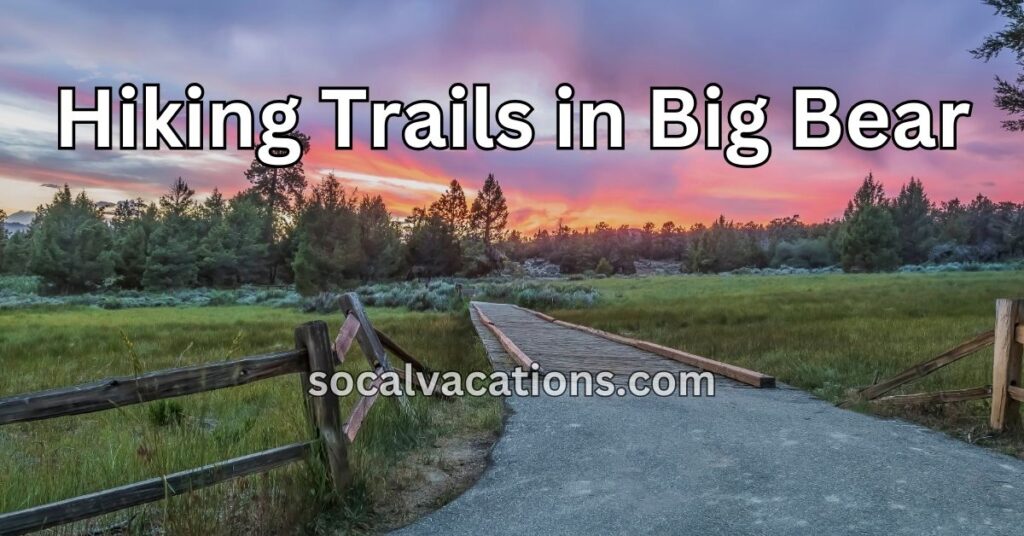
Big Bear Lake’s Hiking Trails
Big Bear Lake’s hiking trails are a testament to the area’s natural beauty and diverse landscape. From gentle forest walks to challenging mountain climbs, the trails offer something for everyone.
The area’s history, combined with its stunning vistas, creates a unique backdrop for unforgettable hiking experiences. Whether you’re a seasoned hiker or a casual walker, Big Bear Lake’s trails invite you to explore the outdoors in a whole new way.
Castle Rock Trail
Castle Rock Trail is one of Big Bear Lake’s most popular hikes. This 2.6-mile round-trip trail offers stunning views of the lake and is suitable for hikers of all levels. Google Map Location
Grays Peak Trail
Grays Peak Trail is a 7-mile round-trip hike that takes you through beautiful forested areas and offers panoramic views of Big Bear Lake. It’s a moderate hike, perfect for those looking for a bit more challenge. Google Map Location
Cougar Crest Trail
Cougar Crest Trail is a 5.2-mile round-trip hike that offers a blend of scenic views and a moderate challenge. The trailhead is near the Big Bear Discovery Center, making it easily accessible. Google Map Location
Pine Knot Trail
Pine Knot Trail is a 6-mile round-trip hike that takes you through lush forests and offers breathtaking views of the lake. It’s a moderate hike and a favorite among locals and visitors alike. Google Map Location
Gold Fever Trail
Gold Fever Trail is a historical trail that takes you through the mining history of Big Bear Lake. It’s a driving trail with hiking options, offering insights into the gold rush era. Google Map Location
Woodland Interpretive Trail
Woodland Interpretive Trail is a 1.5-mile loop that offers an educational experience with signs explaining the local flora and fauna. It’s a gentle hike suitable for families. Google Map Location
Champion Lodgepole Pine Trail
Champion Lodgepole Pine Trail is a 1-mile round-trip hike that leads to the famous Champion Lodgepole Pine. It’s an easy hike with interpretive signs along the way. Google Map Location
Bertha Peak Trail
Bertha Peak Trail is a 7.5-mile round-trip hike that offers spectacular views of Big Bear Lake. It’s a challenging hike suitable for more experienced hikers. Google Map Location
Pacific Crest Trail Section
This section of the famous Pacific Crest Trail runs through the Big Bear area, offering a variety of hiking options with stunning mountain views. Google Map Location
Snow Summit Skyline Trail
Snow Summit Skyline Trail is a 15-mile round-trip hike that takes you along the ridge with breathtaking views of the entire valley. It’s a challenging hike for adventurous hikers. Google Map Location
Grand View Point Trail
Grand View Point Trail is a 6-mile round-trip hike that leads to one of the most panoramic views in Big Bear. It’s a moderate hike suitable for most hikers. Google Map Location
Sugarloaf Mountain Trail
Sugarloaf Mountain Trail is a 12-mile round-trip hike that takes you to the highest point in the Big Bear area. It’s a strenuous hike for experienced hikers. Google Map Location
Towne Trail
Towne Trail is a 3-mile round-trip hike that offers a gentle walk through the forest, suitable for families and casual walkers. Google Map Location
Safety Considerations and Tips
Hiking in Big Bear Lake is an enjoyable and rewarding experience, but safety should always be a priority.
Big Bear Lake is situated at an elevation of approximately 6,750 feet (2,060 meters) and rises to approximately 8,500 feet (2,591 meters) above sea level in the San Bernardino Mountains of Southern California. This elevation, while offering stunning views and a unique mountain environment, also presents some challenges that visitors should be aware of.
Altitude Considerations
At higher elevations, the air is thinner, meaning there is less oxygen available. While Big Bear Lake’s elevation is generally not high enough to cause severe altitude sickness, some visitors, particularly those coming from sea level, may experience mild symptoms. These can include headaches, dizziness, fatigue, shortness of breath, and difficulty sleeping.
Atmospheric oxygen at sea level is approximately 2.9%… at 6,000 – 9,000 feet (1,829 – 2,743 meters) the atmospheric oxygen is 16.6% – 14.8% respectively.
Altitude Sickness: Signs and Symptoms
Altitude sickness is the body’s response to decreased oxygen levels at higher elevations. It’s essential to recognize the symptoms and take them seriously, as ignoring them can lead to more severe problems. Drinking plenty of water, taking it easy for the first day or two, and avoiding alcohol can help the body acclimate. If symptoms persist or become more severe, it’s wise to seek medical attention.
Overcoming Altitude Sickness
To overcome or prevent altitude sickness, visitors can take several steps:
- Acclimatize Gradually: If possible, spend a day or two at a slightly lower elevation before ascending to Big Bear Lake.
- Stay Hydrated: Drink plenty of fluids, as dehydration can exacerbate symptoms.
- Eat Properly: Eating a balanced diet with enough carbohydrates can help the body adjust.
- Avoid Alcohol and Tobacco: Both can interfere with the body’s ability to acclimate.
- Consider Medication: In some cases, medication like acetazolamide may be prescribed to help with symptoms.
Lack of Humidity, Sun, and Dehydration
Big Bear Lake’s mountain climate also means lower humidity and more intense sun exposure. The lack of humidity can lead to dry skin and increased thirst, while the higher elevation makes the sun’s rays more potent, increasing the risk of sunburn.
Visitors should be mindful of staying hydrated by drinking plenty of water throughout the day. Using sunscreen, wearing protective clothing, and seeking shade during peak sun hours can help prevent sunburn.
Big Bear Lake’s elevation and climate offer a unique and beautiful environment for outdoor activities. Being aware of potential challenges like altitude sickness and taking appropriate precautions can ensure a safe and enjoyable visit.
Here are some essential tips for a safe hiking experience:
- Know Your Limits: Choose a trail that matches your fitness level and experience.
- Stay on Marked Trails: Follow the marked trails to protect the environment and ensure your safety.
- Carry Essentials: Bring water, snacks, a map, sunscreen, and appropriate clothing.
- Check Weather Conditions: Be aware of the weather forecast and dress accordingly.
- Respect Wildlife: Observe wildlife from a distance and do not feed or approach them.
Embrace the Beauty of Big Bear Lake’s Trails
Big Bear Lake’s hiking trails provide a diverse and exciting experience for visitors. From the historical significance of the Gold Fever Trail to the natural beauty of the Cougar Crest Trail, the area’s hiking attractions reflect its rich heritage and stunning landscapes.
So grab your hiking boots and hit the trails in Big Bear Lake. A world of exploration, adventure, and breathtaking beauty awaits you on these incredible paths.